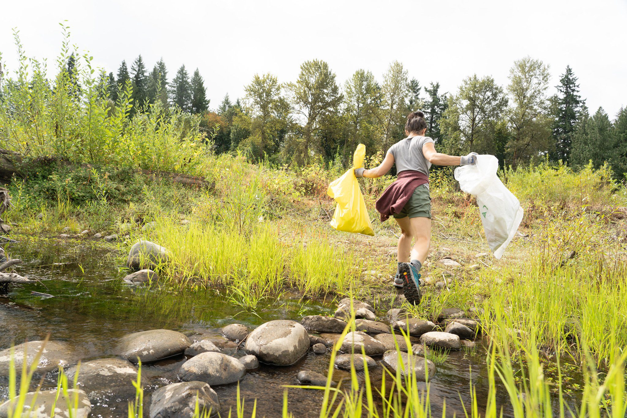
Supporting Low Impact Recreation on the Clackamas River
Many of our river users are not aware that the Clackamas River is a drinking water source for over 300,000 people in Clackamas and Washington Counties. In 2021 the Clackamas River Water Providers, a coalition of all the cities and water districts that get their drinking water from the Clackamas, received a State Drinking Water Source Protection Grant to enhance the existing source water protection in connection to and supporting low impact river recreation.
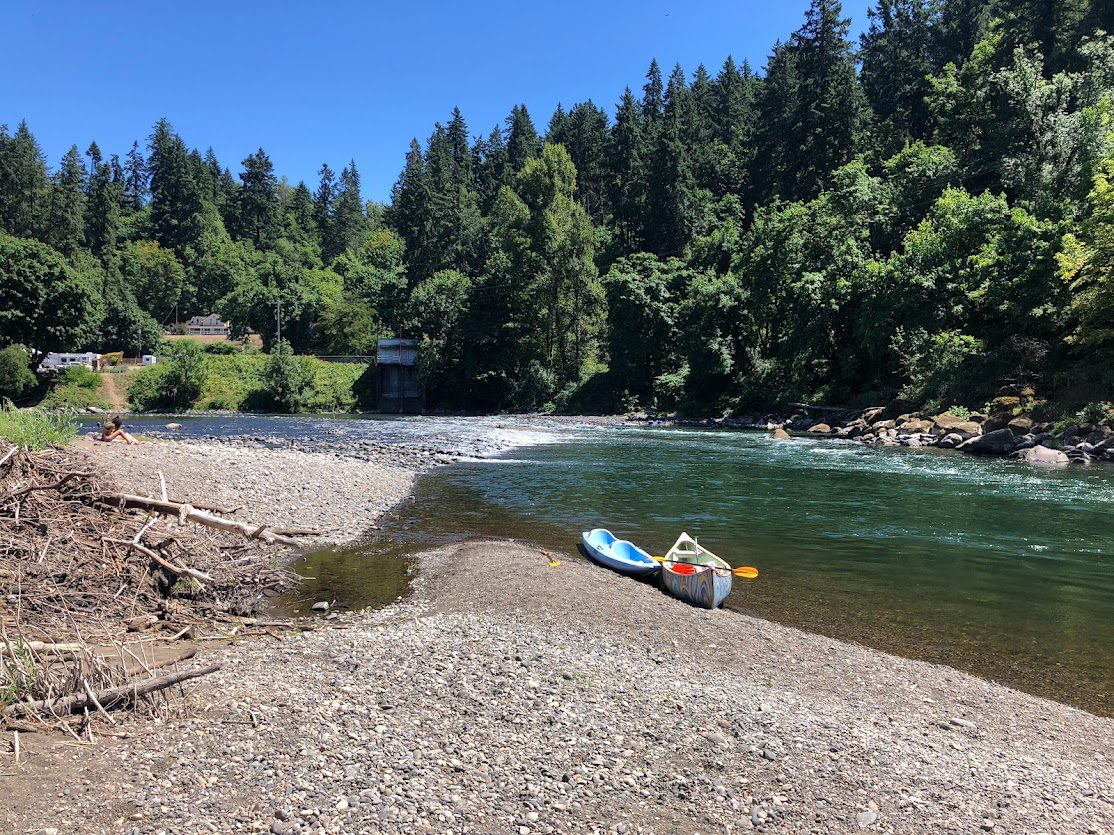
2022 Clackamas Water Trail: Focus on lower river
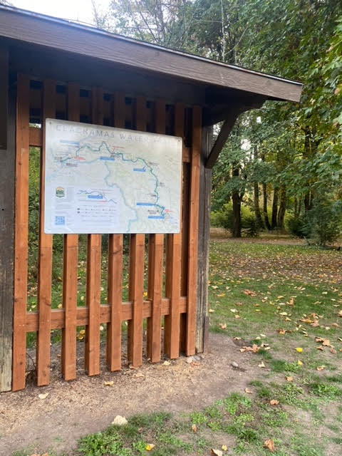
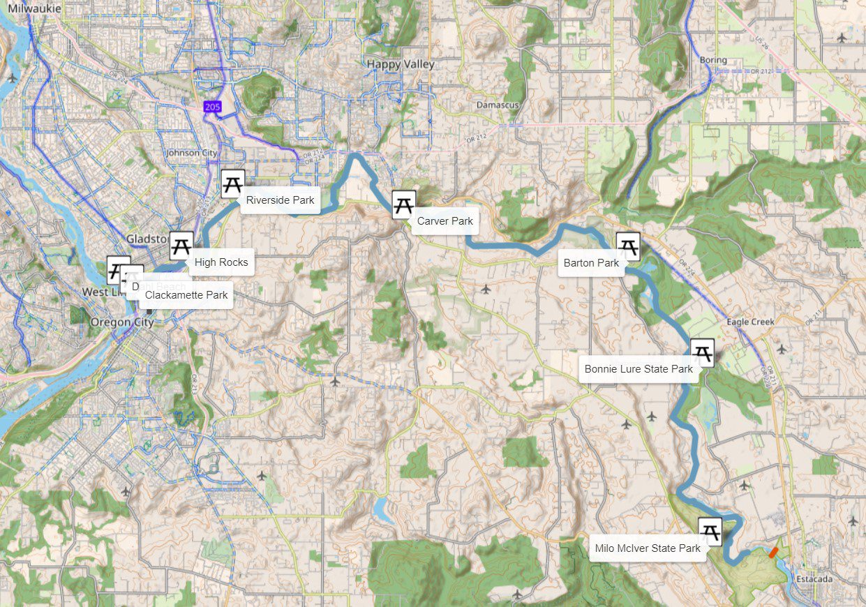
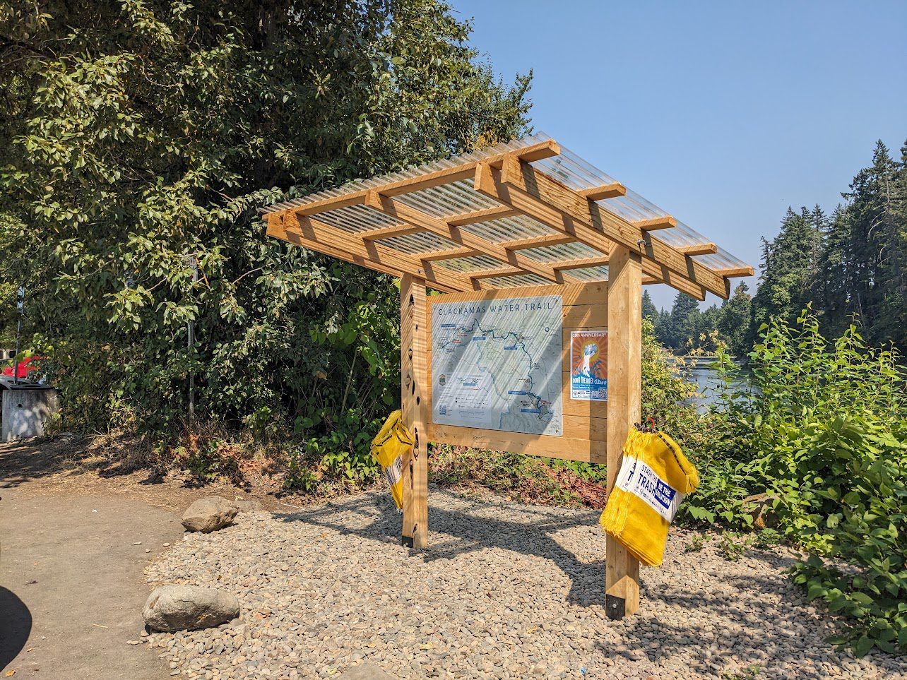
To promote low impact river recreation. we created the Clackamas Water Trail website and installed nine physical signs at public access points on the lower river. Each map sign features a prominent QR code linking to the website. The purpose of the website is to highlight recreational and natural features, local amenities, and known river conditions and hazards along the lower 22 miles of the Clackamas River. It differentiates private and public property, sensitive fish and wildlife habitat areas that are not to be disturbed, and includes information on how to be good river stewards and protect a critical drinking water source. The map signs provide information and wayfinding at the boat launch areas by the river.
2025 brings updated Website and new map for the upper river
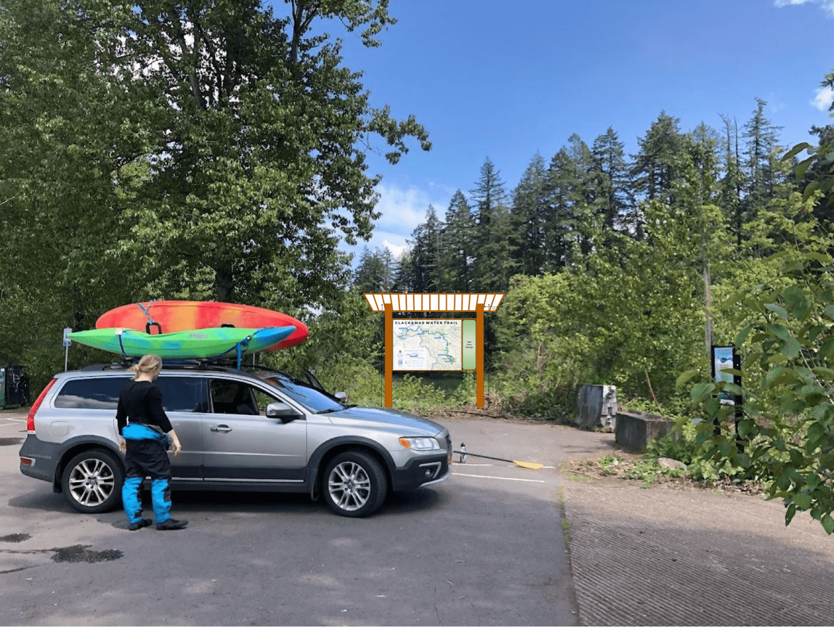
In 2024 the Clackamas River Water Providers received a Clackamas County Tourism Strategic Investment Fund grant to expand the existing Clackamas River Trail efforts. The ‘Upper Clackamas Water Trail’ project adds new information to the existing webpage and extends the online interactive map to the upper watershed. The project will also install new maps for the upper river at boater access points. The map will be designed by the same cartographer, Dave Imus, as the lower river map.
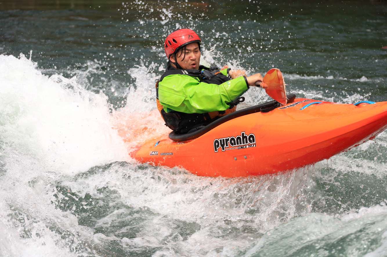
Upper Clackamas Water Trail: Whitewater and Lakes
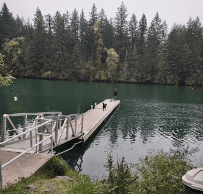
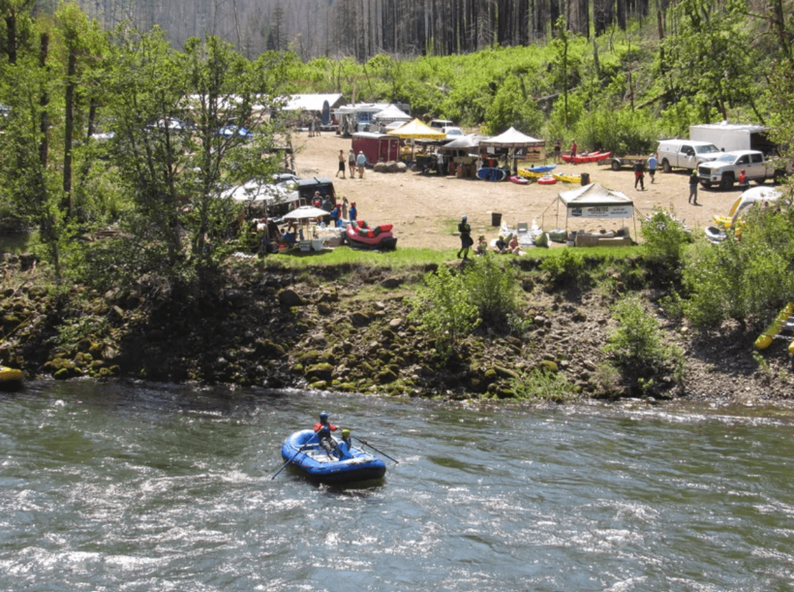
A key goal of the online and physical maps is to highlight the exciting ‘Upper Clackamas’ gorge section and its famous rapids. Most of the upper river is considered difficult and dangerous and only intermediate or expert boaters should paddle without a guide. The current website provides contact information for qualified outfitters who provide guided trips on both the lower and upper Clackamas. The website and map will also showcase flatwater or moving water itineraries fit for beginners, particularly around Estacada Lake and North Fork Reservoir.
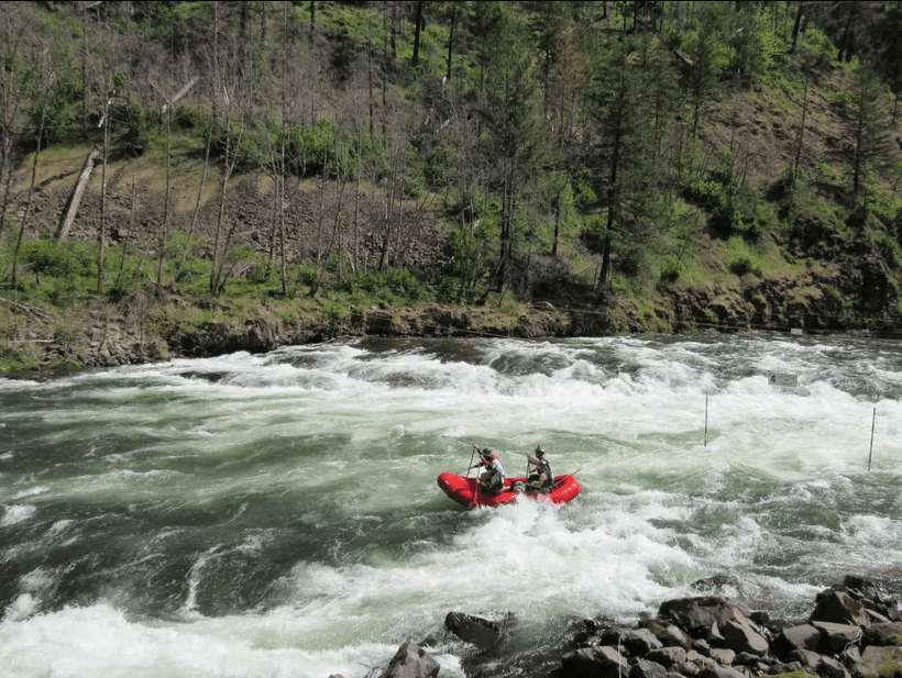
The results of these efforts will be one online location where our communities can find information on how to safely enjoy a day on the Clackamas River – be it self guided in an inner tube, with a group on a lake, or on a guided trip down the whitewater rapids. The maps will also provide crucial way-finding and river information at key access points in parks and on public lands.
Stay tuned as these efforts unfold this spring and summer, and be safe when you visit the incredible Clackamas Water Trail!
