Itinerary Inspirations
Recreation on Clackamas River
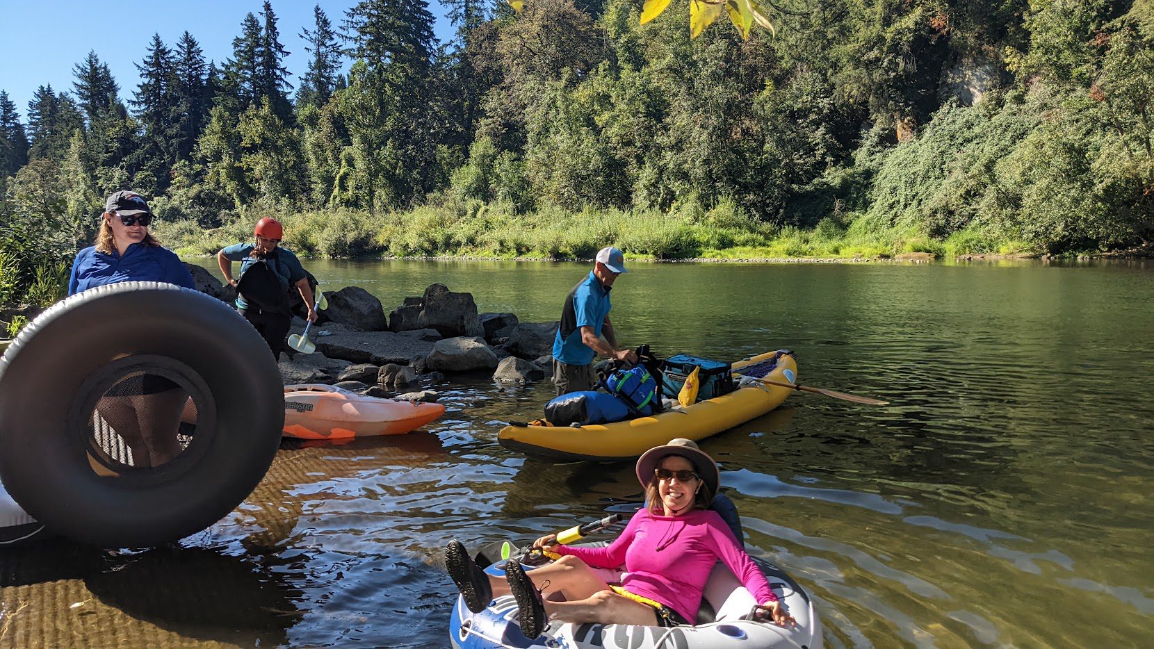
Whether you enjoy the thrill or whitewater rafting and kayaking or are looking for a mellow float, the Clackamas River is host to a variety of river recreation opportunities and provide something fun and exciting for all.
Upper Clackamas is known for its steep terrain, wild and scenic beauty, and bigger more technically challenging whitewater rafting, kayaking and canoeing. The Lower Clackamas River is great for beginner rafting trips, perfect for families with smaller kids or groups just wanting a scenic, mellow day on the river.
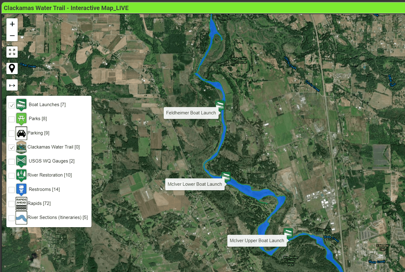
To plan your perfect day on the river check out the itineraries for the Upper and Lower River or explore the interactive map to find locations of parks, boat ramps and more. Take a few minutes to review the information in this website and make sure you are totally prepared for a fantastic (and safe) journey down the Clackamas Water Trail.


