New Map and Website Update empower visitors to explore the wild beauty of the upper Clackamas River.

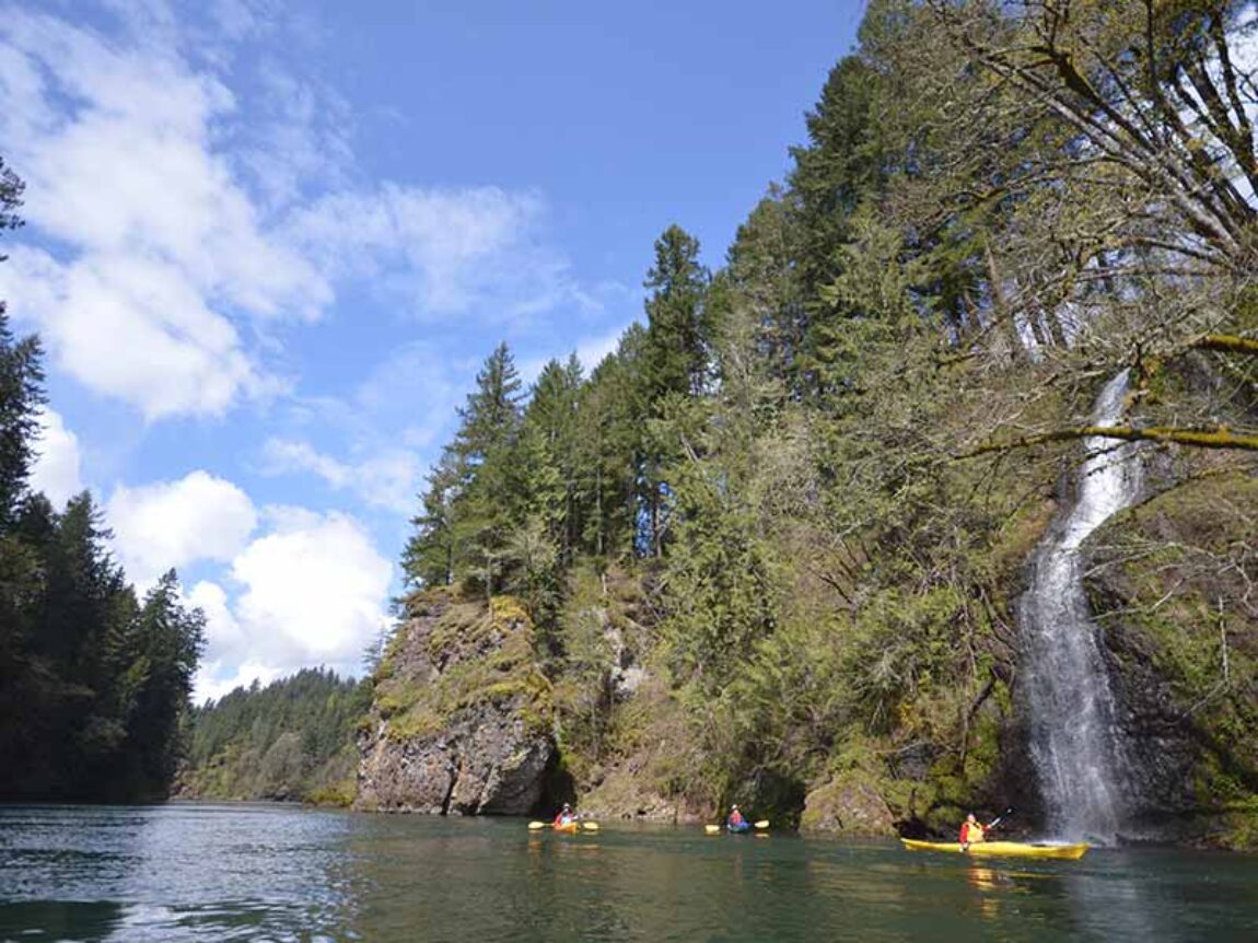
Explore the lakes and wild rapids of the Upper Clackamas River!
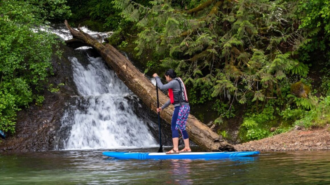
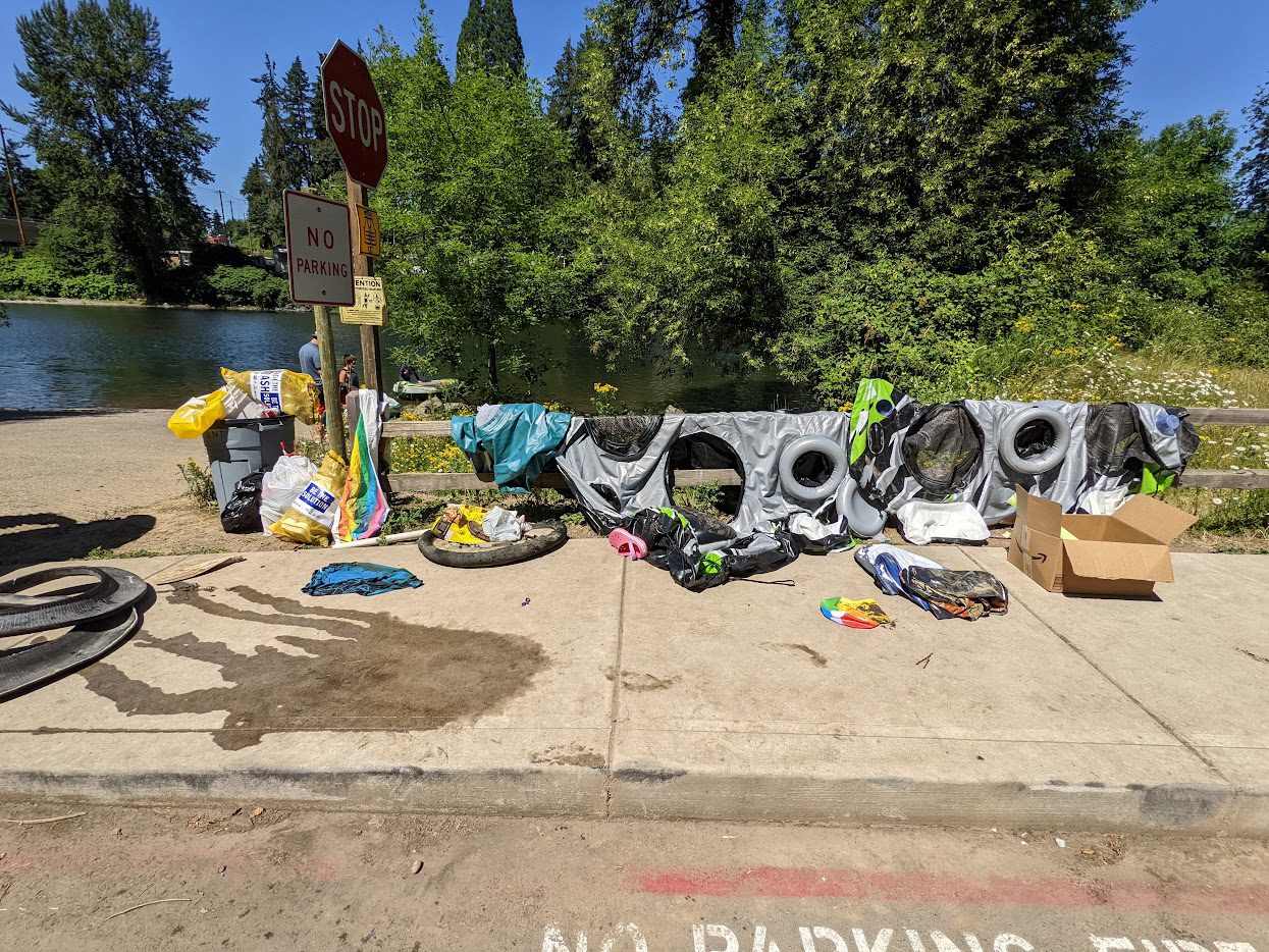
Thought of heading out to the Clackamas River to beat the summer heat? You are not alone. Thousands of Portland residents and visitors head to the river every hot day in the summer, making it by far the most popular floating area in the metropolitan area (the lower Sandy River peak days notwithstanding).
While there is over 50 miles of river to explore and find solace, the majority seek a float down the Barton to Carver section. It is true it is one of the most gentle and scenic sections. But there are both other floating options and other options to floating.
Learn about the Upper Clack: New Map and updated website
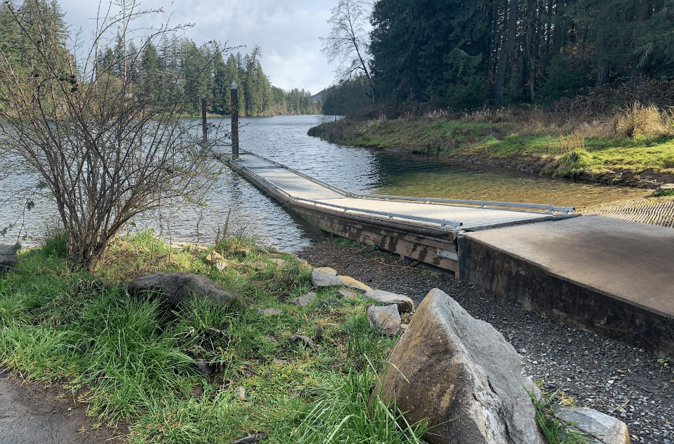
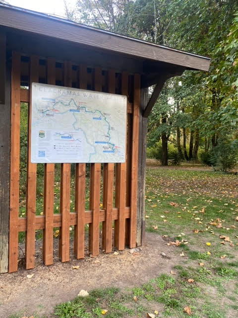
A new Upper Clackamas Water Trail Map and updates to the interactive website (www.clackamaswatertrail.org) were completed earlier this summer, and the first map sign has already been installed at McIver State Park. While the Lower Clackamas Water Trail is a contiguous 22 mile section with relatively gentle riffles, rapids and long flat stretches, the Upper Clackamas Water Trail combines a 13 mile whitewater stretch and both the 4 mile North Fork Reservoir and the smaller Estacada Lake (which is the last reservoir on the Clackamas River before it flows freely to the Willamette and out to the sea).
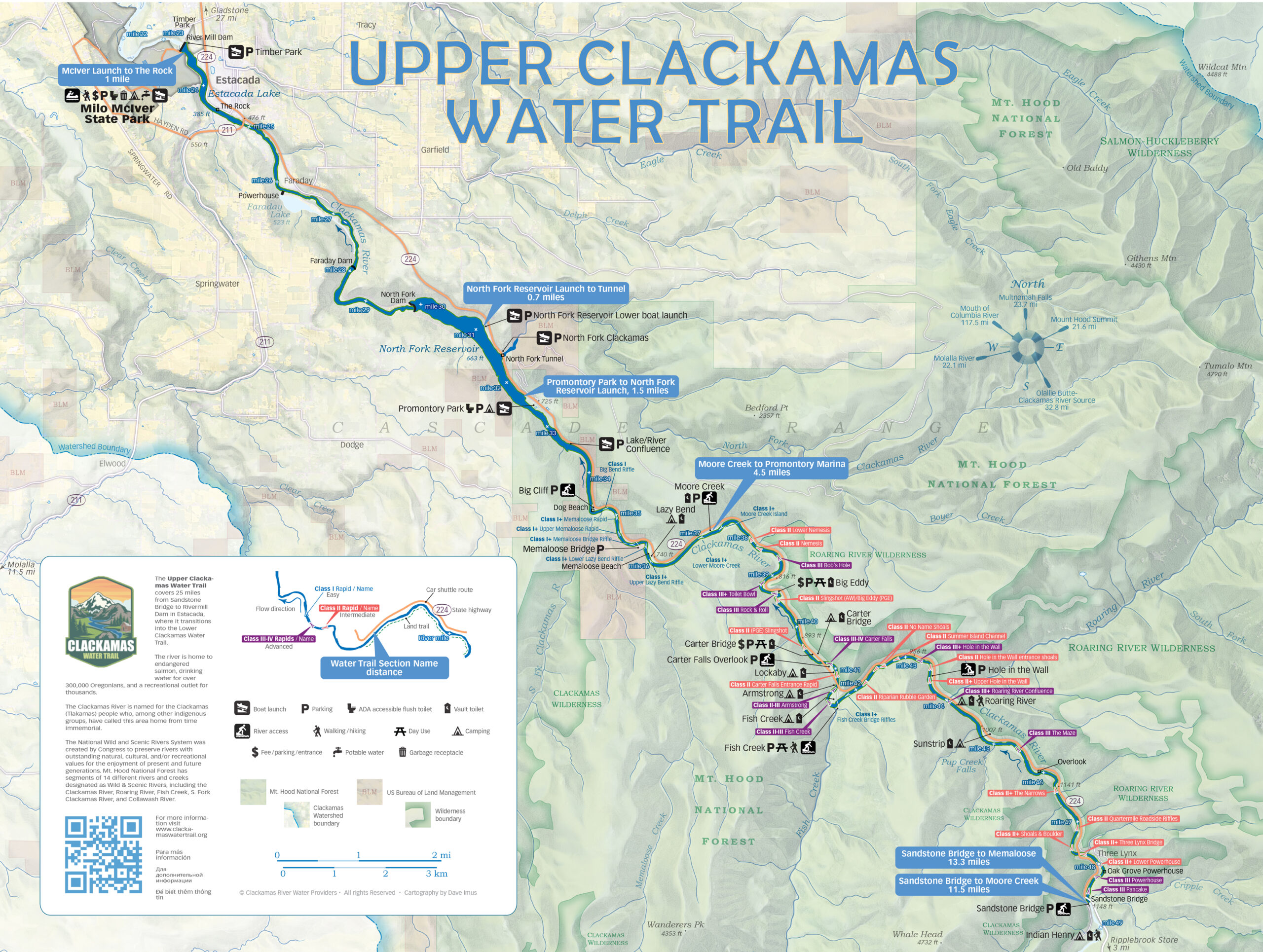
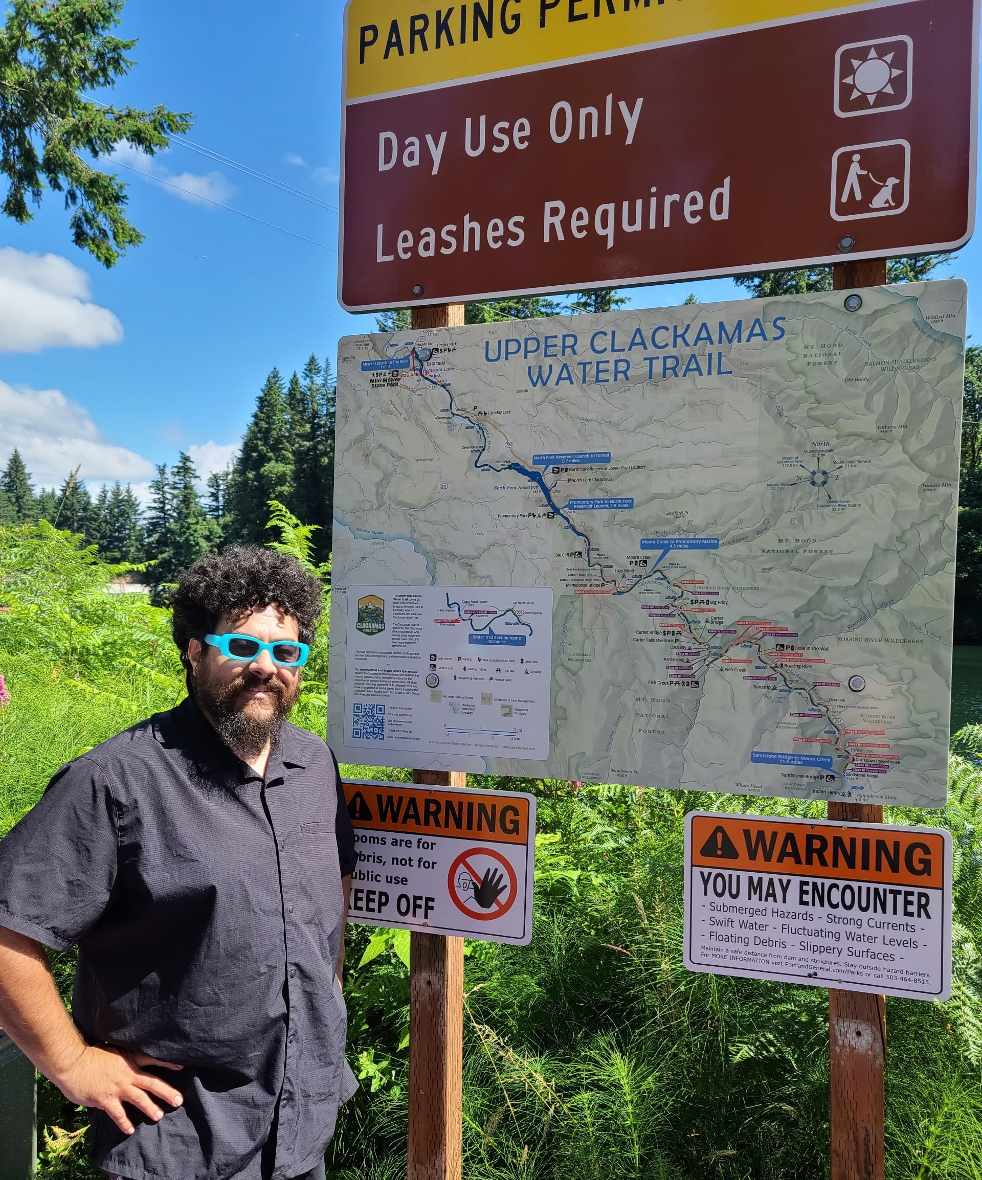
Following the success of the Clackamas Water Trail website and map project completed in 2023, this latest effort compiled similar river information for the ‘Upper’ Clackamas River, adding it to the existing www.clackamaswatertrail.org website and creating a new map sign for the upper that also complements the lower Clackamas Water Trail map sign.
Both the Upper and Lower map signs were designed by award-winning cartographer, Dave Imus at Imus Geographics, and the website was built by local Estacada business, Winthrop Web Services. The webpage and sign project is managed by the Clackamas River Water Providers and supported by a grant from Mt. Hood Territory (Clackamas County Tourism agency).
The Upper Clackamas Water Trail map signs will be installed at access points along the river and reservoirs by the respective land managers that include Oregon State Parks, City of Estacada, Portland Gas & Electric (PGE), and the U.S. Forest Service (USFS).
Website Updates
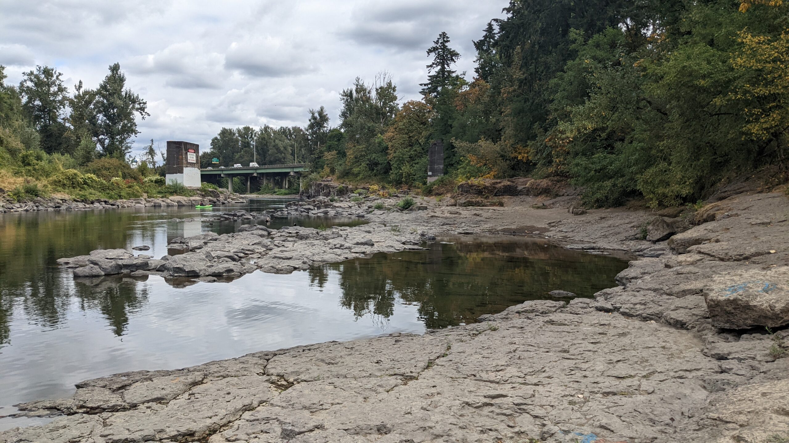
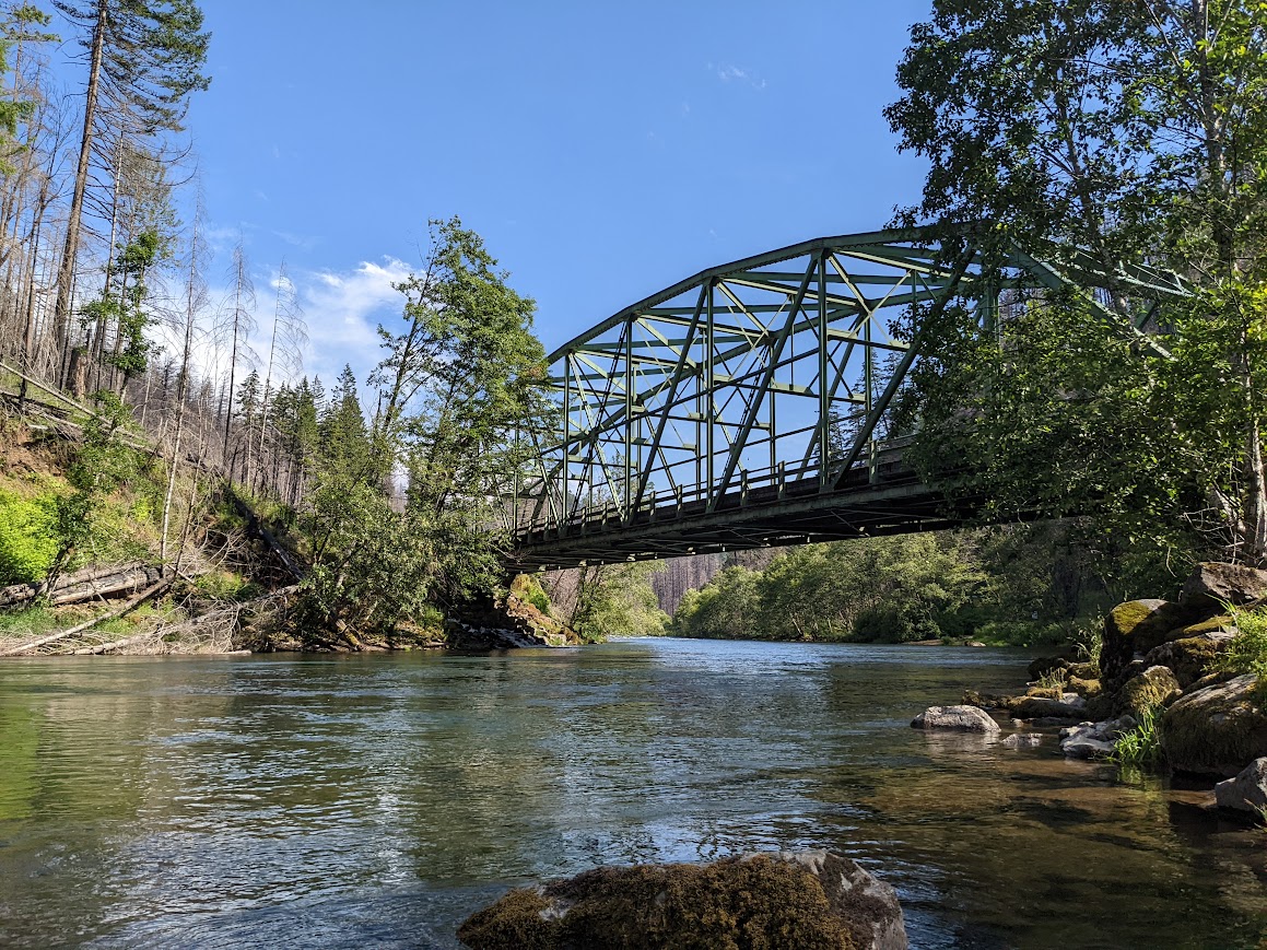
The Upper Clackamas Water Trail starts at Sandstone Bridge access point and finishes at the Rivermill Dam that makes Estacada Lake. The website is organized around five sections, with the interactive River Map and Itinerary Inspirations separated out based on Upper and Lower sections. Visitors can explore real-time weather and river conditions, plan day trips, or learn more about the wildlife and landscapes that make the Upper Clackamas a destination for adventure and reflection alike.
River Map – Explore
These pages feature interactive maps, one showing the full river and two focused on the Upper and Lower river sections, respectively. The maps feature boat launch locations, rapids (with ratings), campgrounds, and other amenities and landmarks.
Plan Your Trip
Explore eight pages which provide important safety, logistics, tips and travel information.
Itinerary Inspirations
The Upper Clackamas Water Trail itineraries include the most popular whitewater section, Sandstone Bridge to Moore Creek, as well as the two large reservoirs, Estacada Lake and North Fork Reservoir.
Discover
Learn more about this amazing river and watershed. See who gets their drinking water from the Clackamas River, what plants, animals and native fish share this resource with us. Or learn about ongoing restoration and volunteer efforts that are working to keep our watershed healthy and resilient.
News & Updates
One stop blog for news and updates.
