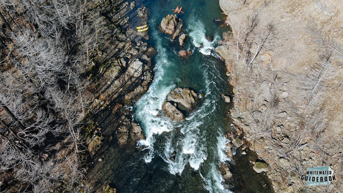
Itinerary Many different options for private boaters!
Private boaters (raft, SUP, kayak, canoe, drift boat) often paddle the same classic Upper Clackamas section as the guided trips, putting in at Sandstone Bridge and taking out at Moore Creek (11.5 miles). Many can paddle it in 3 hours, but trip length is at the discretion of the boaters.
But some choose to take out at Memaloose for a longer day, or put in at any number of other access points to shorten or alter the itinerary (or avoid an overcrowded parking lot). Some boaters paddle all the way to Promontory marina, which is another 4.5 miles after Moore Creek and makes for a 16 mile paddle day!
With 12 named rapids rated Class III or higher*, the Upper Clackamas is the closest and most reliable whitewater run in the Portland area.
Planning your trip – know the water flow and rapids ahead
The American Whitewater Upper Clackamas page has excellent rapid descriptions, updated safety information, and links to the USGS gauge. We recommend checking there first for water levels (stay in your comfort zone) and any updated hazard information (ex. log jams or other obstructions).
Another resource with rapid descriptions is the online Whitewater Guidebook – Upper Clackamas River.
Landscape background
The run starts and ends in the rugged Clackamas River gorge, a steep sided forested and rock outcropping canyon that separates the hills and floodplains of the lower Clackamas and the high mountain tributary drainages that feed into the Upper Clackamas segment. Many trees were burned in the 2020 Riverside fire and much of the topography is starkly exposed. However, it also shows the quick comeback of many native trees and shrubs, and the landscape is rebounding.
The water is typically crystal clear in the summer, with run-off silt and mud occurring only after heavy rains and snow melts. It is also cold: average summer temperatures rarely rise above 55 degrees Fahrenheit.
Amenities
Sandstone Bridge, the put-in, has the traditional raft railings to help get big boats down the steps. Moore Creek, the take-out, has railing but no steps. Moore Creek does have toilets (concrete building with pit toilets), but Sandstone does not. There are five toilets along this section (in order from upstream to downstream).
- Hole in the Wall parking area
- Lockaby campground (above Carter Falls)
- Carter Bridge parking area
- Big Eddy parking area
- Moore Creek parking area
* NOTE: Summertime flows – and when most guided rafting occurs – are typically lower for this wild & scenic drainage (no dams upstream to regulate flow) and many outfitters, guides and other website downgrade all of the Class IV ranked rapids to Class III+. The rapids actually get narrower and more technical at lower flows but the water speed and turbulence is lower.
