Trip planning – Upper and Lower River sections
Whether you enjoy the thrill of whitewater rafting and kayaking or are looking for a mellow float, the Clackamas River is host to a variety of river recreation opportunities and provides something fun and exciting for all.
Originating in the high Cascade Mountains of Oregon, the 83 mile Clackamas River plunges through high mountain valleys and canyons before it meanders through farmland and hill country on to its confluence with the Willamette River.
Safely accessing any part of this wild, scenic and suburban river requires planning, and the Clackamas Water Trail website can be an indispensable aid in that planning. The following are key reminders for trip planning, and further ways to use the Clackamas Water Trail website.
1. Choose the right section/location for your skill & comfort levels
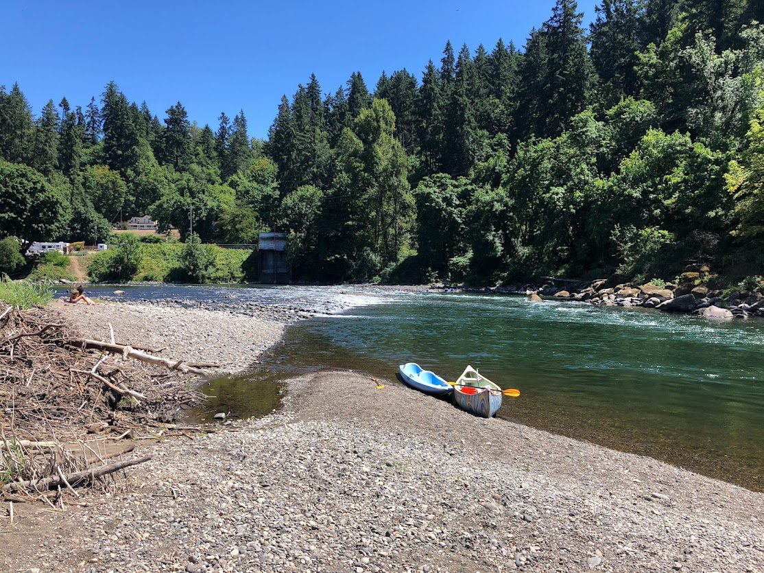
Whether you are tubing, floating on an inflatable unicorn, or paddling a kayak, choosing the right stretch of river makes all the difference in terms of enjoyment, comfort, and safety.
Upper vs Lower Itineraries
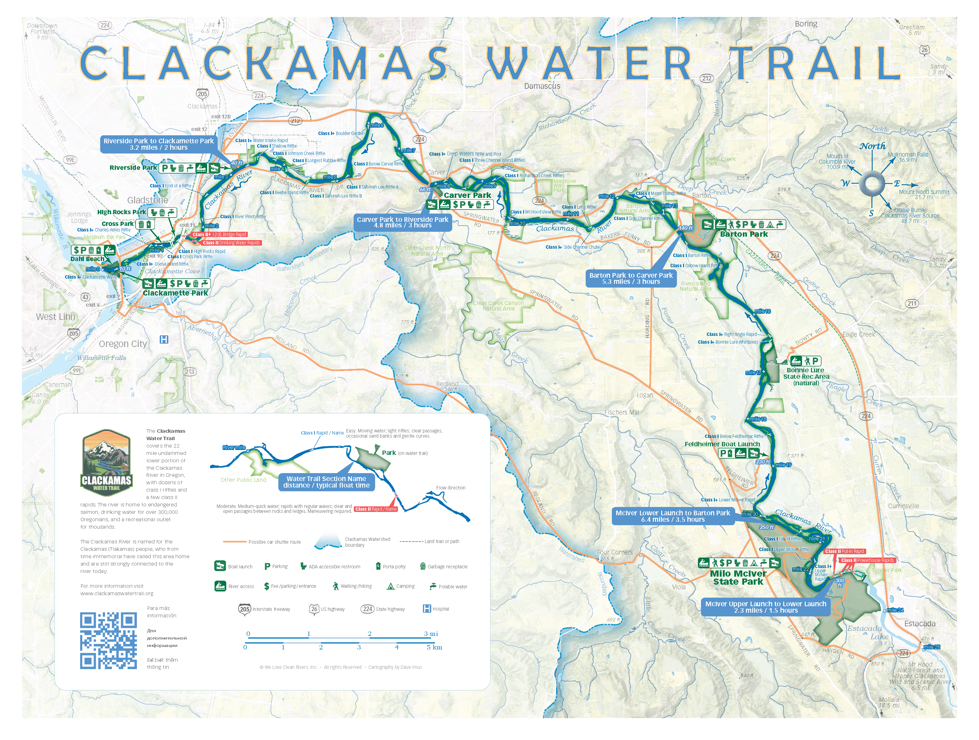
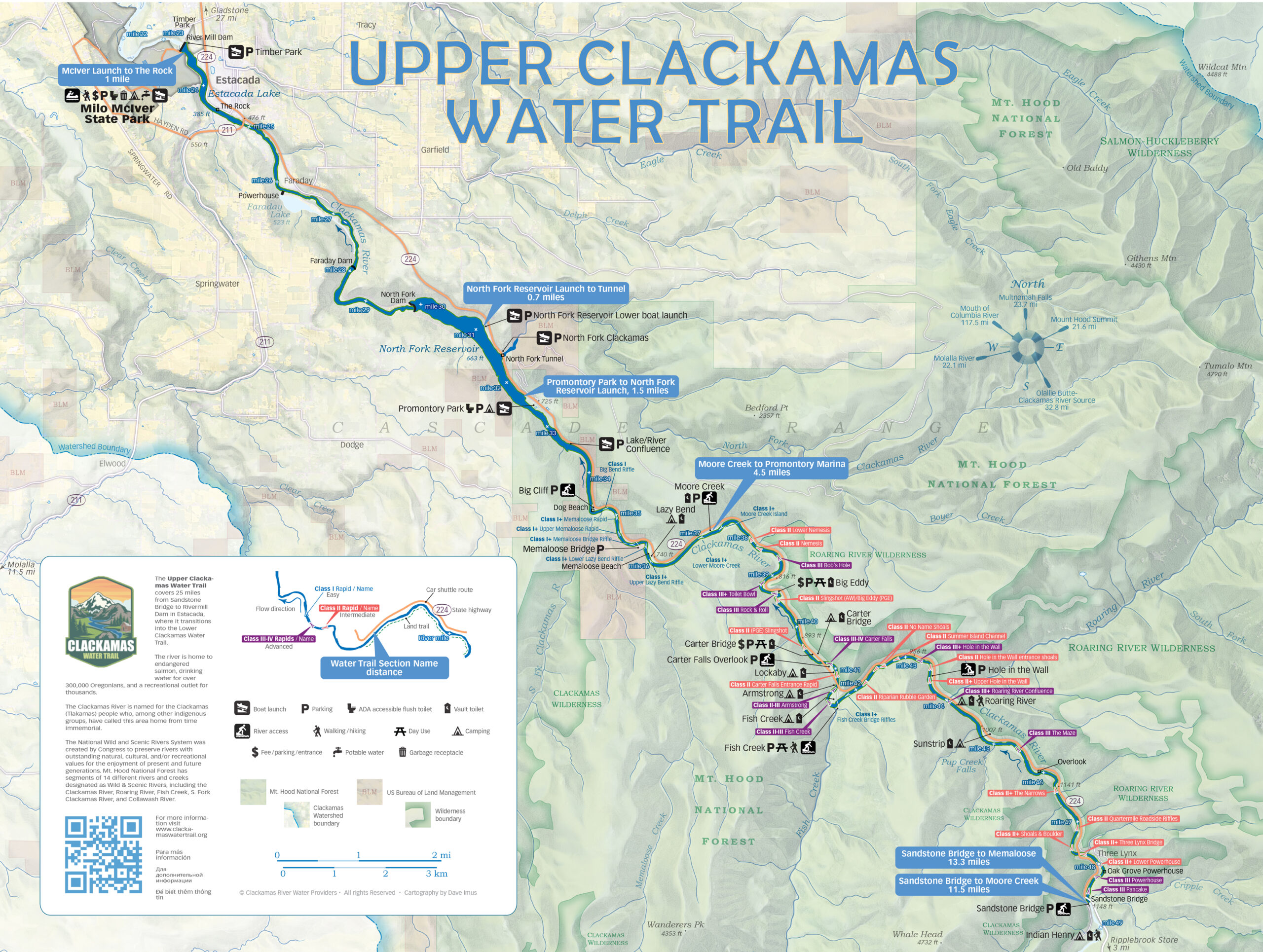
The Clackamas Water Trail – a formal designation of river stretches that are popular and accessible to the public – encompasses two key stretches of the river demarcated as the ‘Upper’ and ‘Lower’ Clackamas River.
Both sections offer an array of recreational activities that include world-class whitewater rafting and kayaking, flatwater paddling, drift boating, tube floating, sport fishing, and riverside hiking, camping and cycling. However, the Upper Clackamas Water Trail offers sections of both complete flatwater (i.e. lakes/reservoirs) and advanced whitewater up to Class IV. The Lower Clackamas Water Trail is a contiguous 22 mile stretch of fast and slow moving water, with dozens of riffles and small rapids, none more than Class II+.
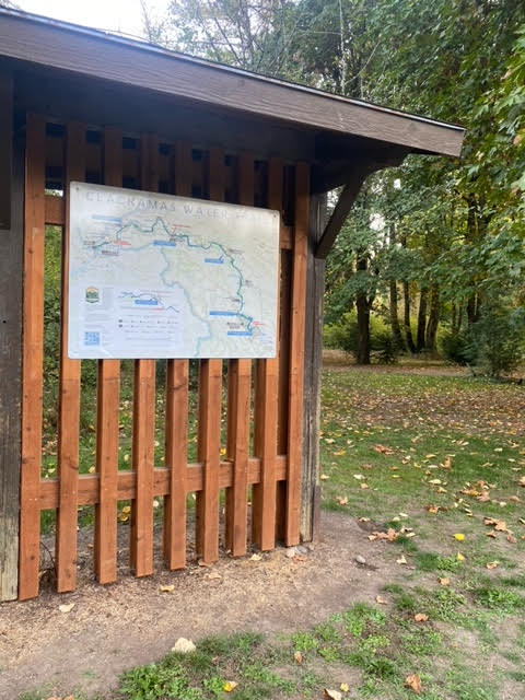
Check out the itineraries for the Upper and Lower River or explore the interactive map (linked below as well) to find locations of parks, boat ramps and more.
2. Understand the environmental conditions of your trip
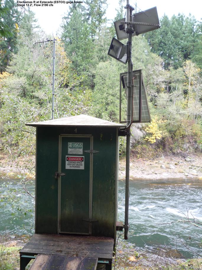
If you are tubing or planning on swimming in the river, the temperature and streamflow levels are the most important environmental conditions to understand before you set out on a trip down the Clackamas Water Trail.
Air and river temperatures are a big factor in planning what gear to bring. Streamflow tells you how much water is in the river – and usually correlates with the speed of the water (more flow = faster water). High flows can make for a faster float or paddle trip, but they also bring additional hazards, particularly strainers along the shoreline (where water flows through tree limbs and creates a potentially deadly sieve) and more powerful whitewater hydraulics.
Check out the USGS Water Gauges data on the CWT homepage for real-time water temperature and streamflow data.
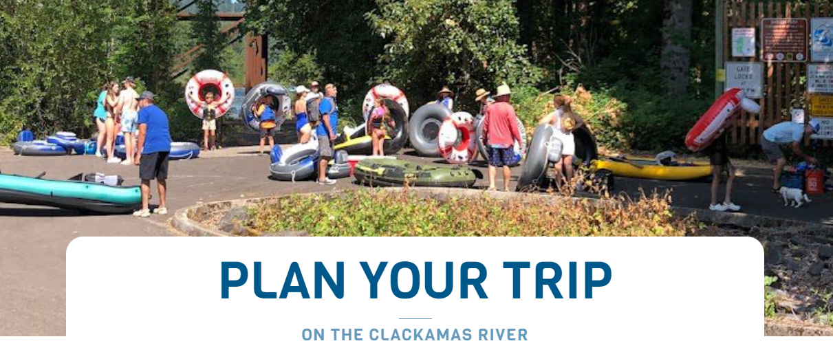
3. Review Plan Your Trip pages for key information and guidelines.
The other way to use the Clackamas Water Trail website is to read through the Plan Your Trip page and associated pages, and pay particular attention to the first three pages.
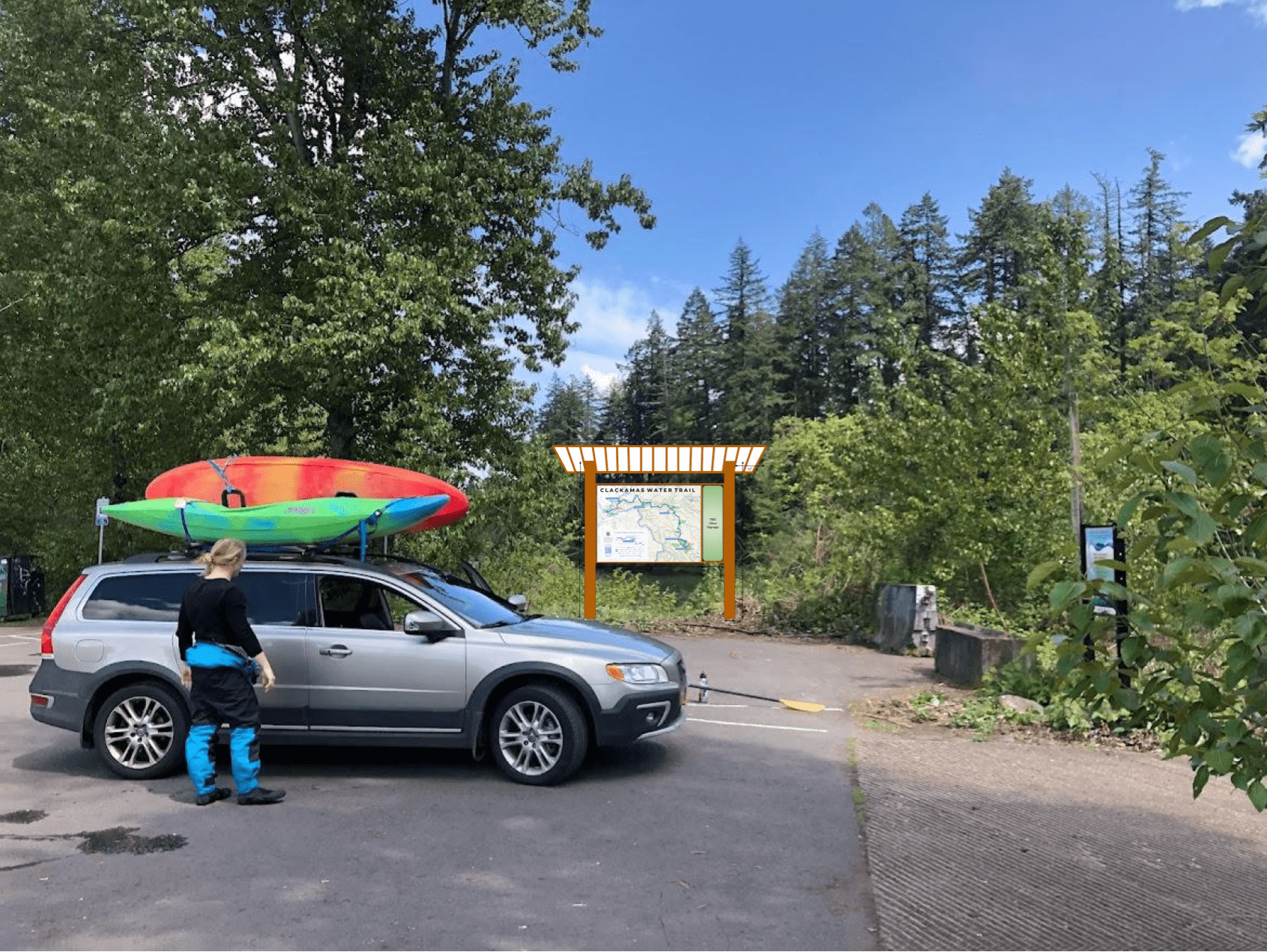
4. Plan your shuttle and other transportation logistics
Check out the Running a Shuttle for a Clackamas Water Trail Float blog post for key shuttle and transportation information.

