Map Signs Installed by Clackamas County Park staff
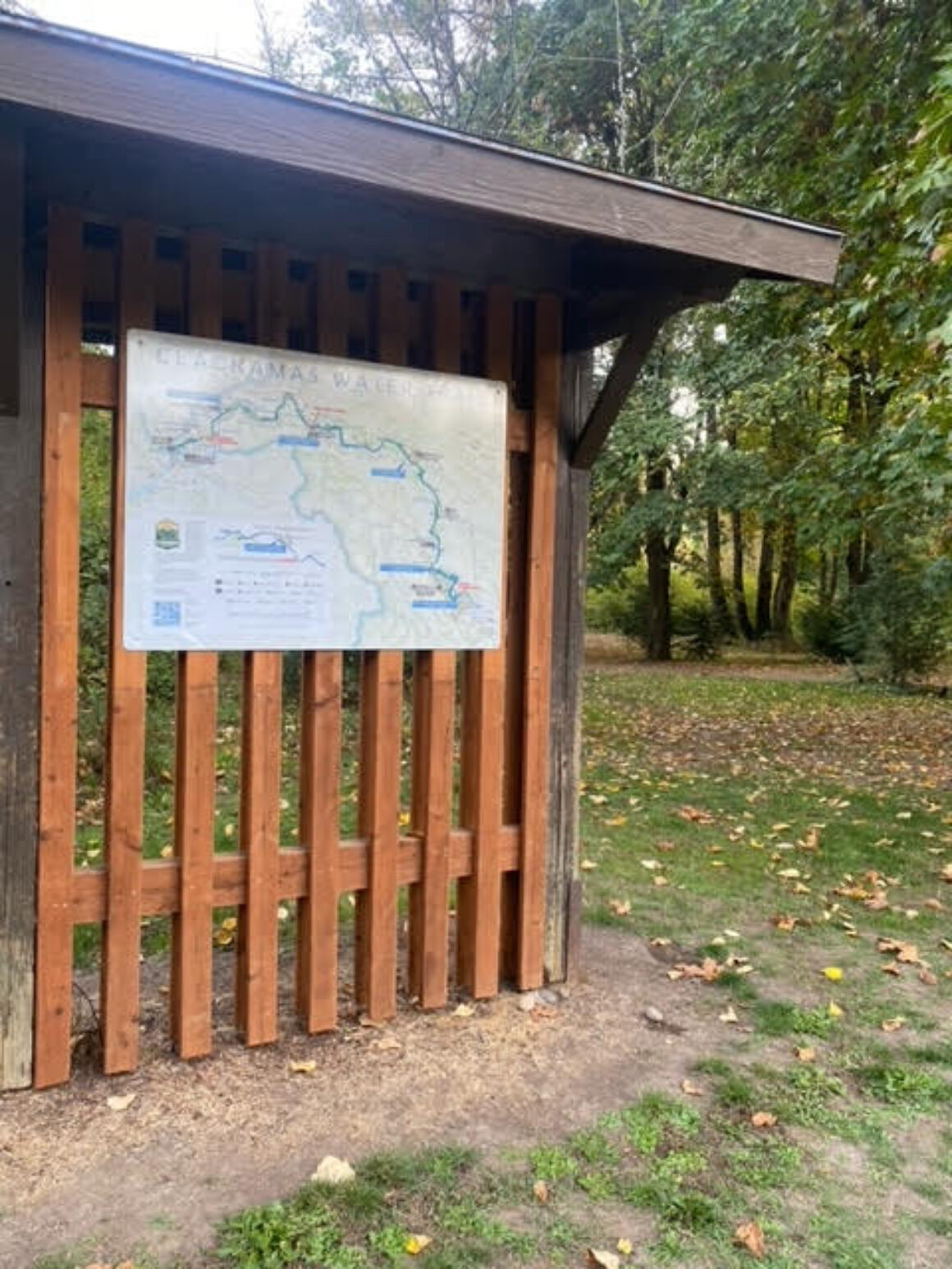
Thank you to Thomas Gray, Ranger for Clackamas County Parks, for installing 4′ X 3′ Clackamas Water Trail maps at Barton and Carver Parks. They looks terrific, and in the process helped clean up some of the crowded signage on the kiosks.
The multi-year project to build a website and online map for the Clackamas Water Trail has been complemented with the installation of map signs at all of the public access points on the lower Clackamas River (from Rivermill Dam in Estacada to the mouth at Gladstone and Oregon City). There are now nine signs installed at the following park areas (in order from upstream to downstream):
- Upper McIver launch
- Lower McIver launch
- Feldheimer launch
- Barton Park launch
- Carver Park launch
- Riverside Park launch
- High Rocks Park entrance
- Cross Park entrance
- Dahl Beach entrance
Clackamette Park and Bonnie Lure Recreation area maps have been printed, and will hopefully be installed in 2025.
All of this work has been funded by grants from the Oregon’s Drinking Water Source Protection, Mt. Hood Territory, and by the project leader, Clackamas River Water Providers. Numerous other organizations have been essential to the development of the website and physical maps, including We Love Clean Rivers, Clackamas River Basin Council, Oregon Department of Fish & Wildlife, U.S. Fish & Wildlife, and numerous outfitters and other nonprofits who provided guidance and feedback.
*NEW* Barton Sign
The Barton sign (BTW, each sign has ‘You are Here’ arrow specific to each access point), was installed on an outdoor sign kiosk closest to the launch. The Barton launch, with its orientation downstream and in calm water, is the main access point for people floating the very popular Barton to Carver section (sometimes there can be as many people on this one section as the entire rest of the river).
The map is now the centerpiece of important signage on the kiosk, ready to help floaters and boaters better understand the river ahead of them and how to be great stewards of this priceless resource.
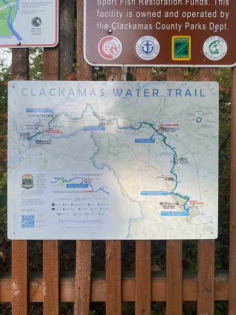
Multi-purpose sign structure near the ramp at Barton Park – now Clackamas Water Trail map located where the floats start.
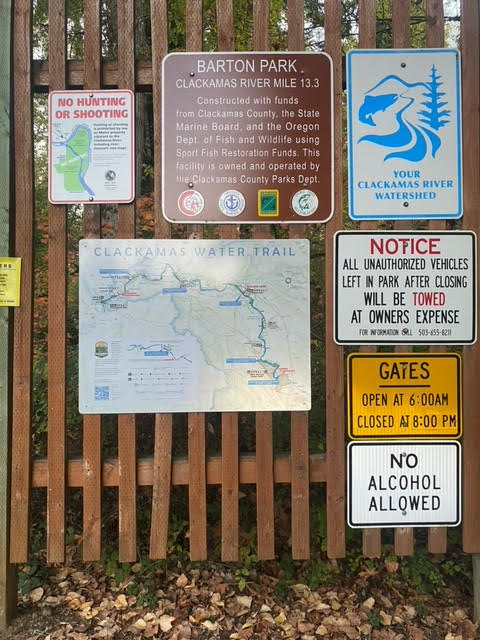
Installing the map sign also helped reorganize/declutter the sign wall.
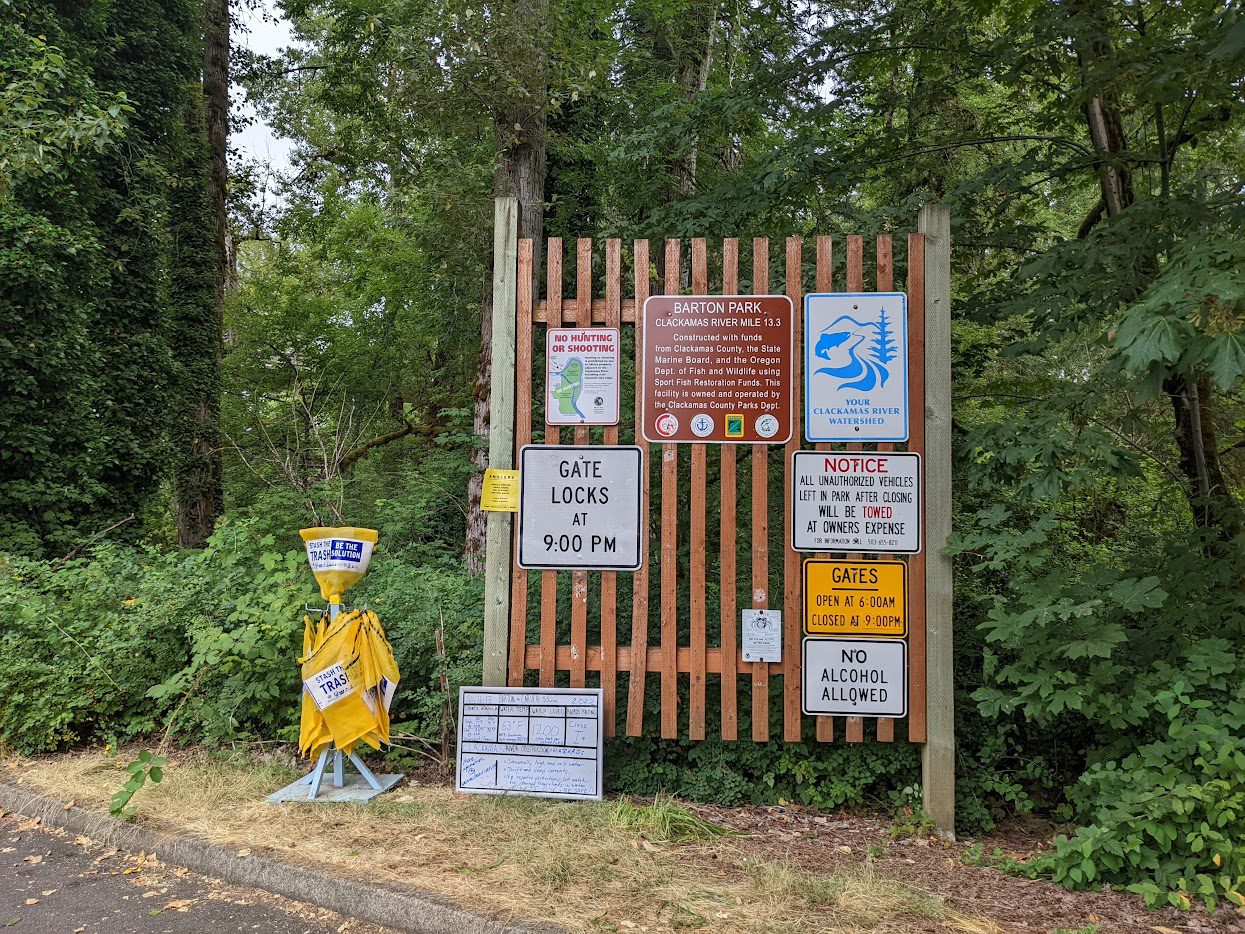
Original sign wall in 2023. With a little recomposition, space was made for the Clackamas Water Trail map!
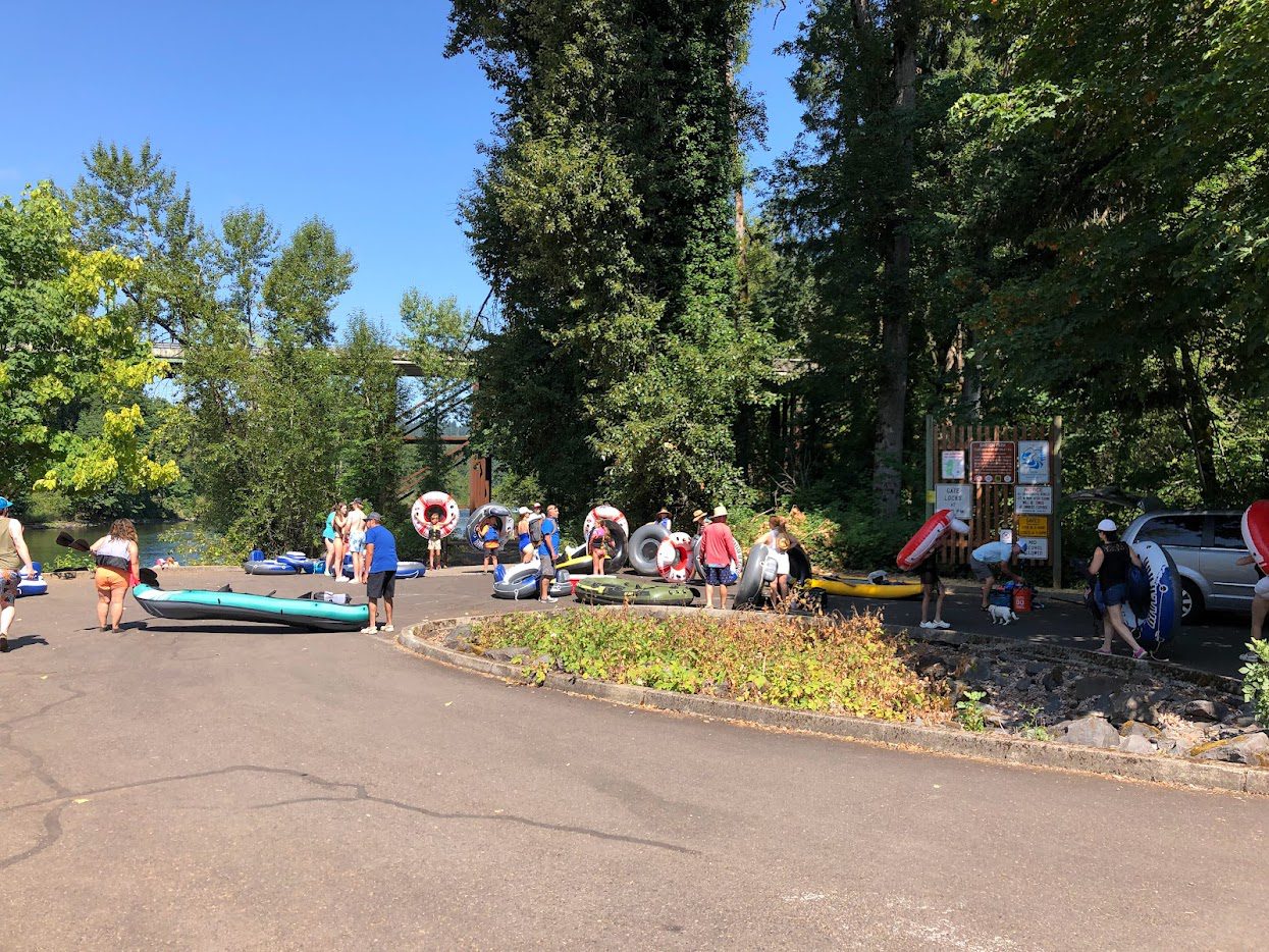
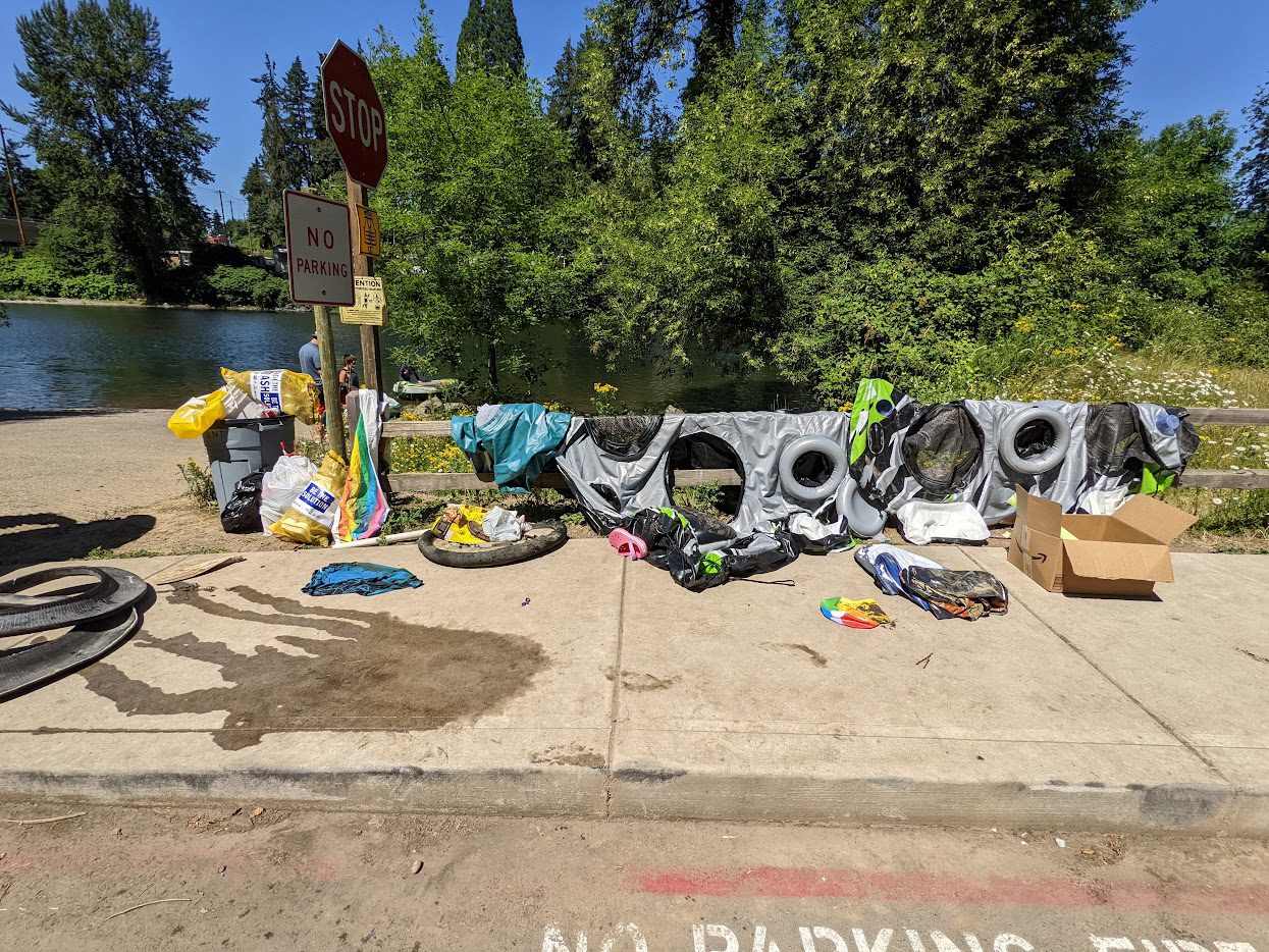
Busy day in Summer 2022 at the Barton Park ramp. Over 1,000 people can walk by the sign wall on a hot summer day.
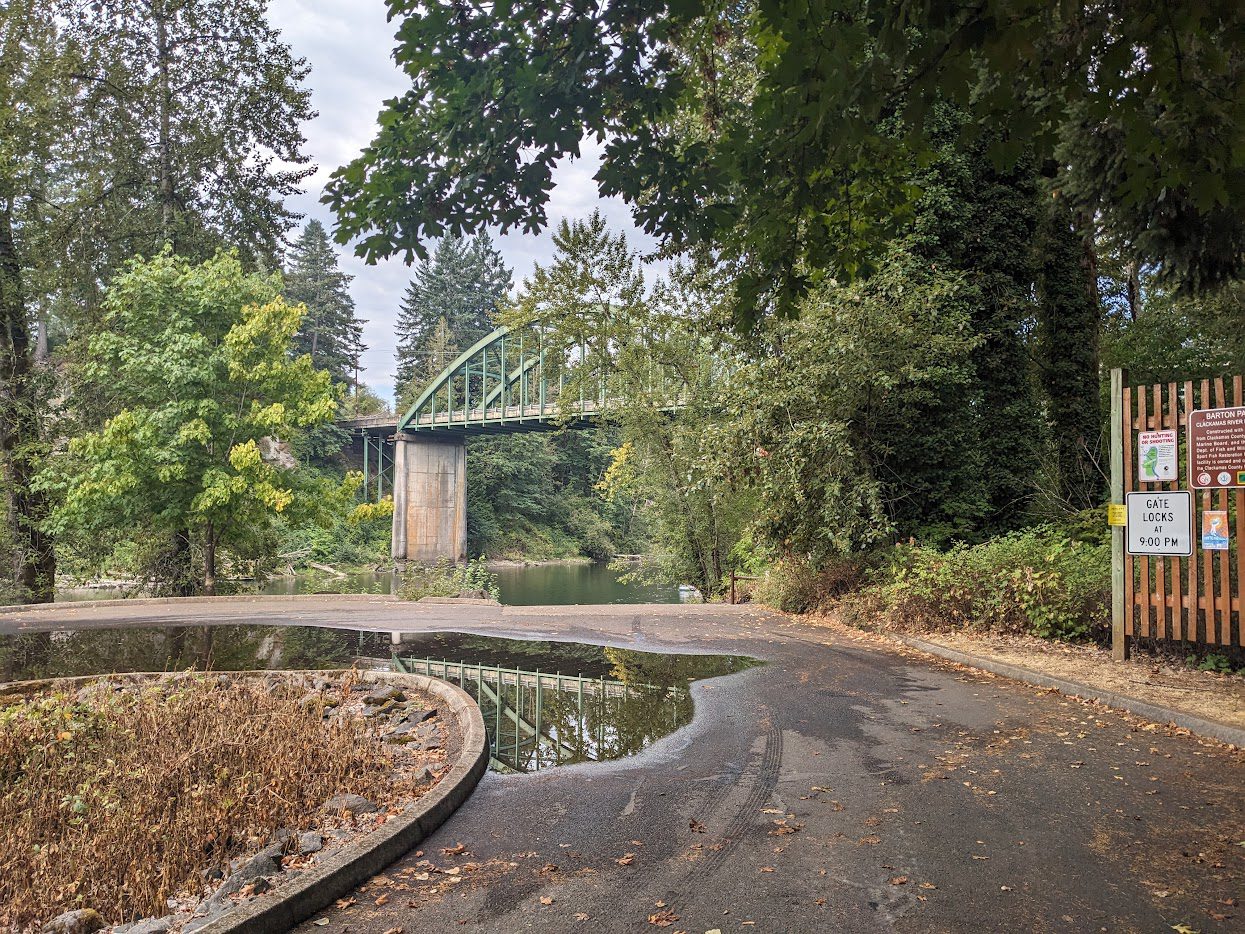
The elegant Barton bridge is a scenic backdrop at the Barton Ramp.
*NEW* Carver Sign
The Carver Park sign was installed on an existing kiosk located next to the bathrooms, and strategically between the parking lot and the boat launch. Most boaters launch from the ramp, but many floaters just walk through the park and put in anywhere along the open riparian area. The map sign location catches the eye for anyone accessing the river.
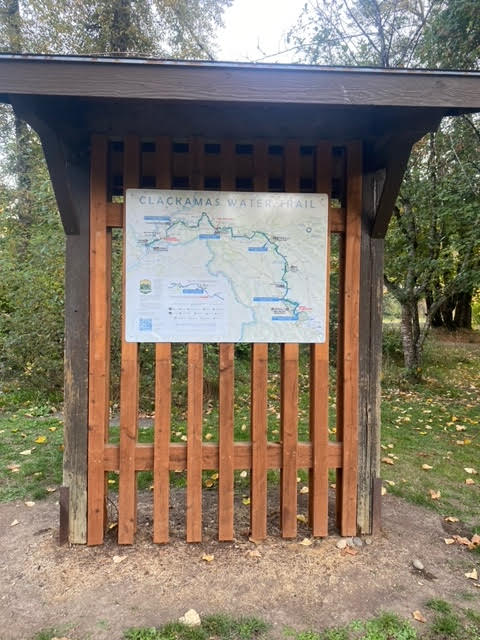
Clackamas Water Trail sign installed at a repurposed Carver Park kiosk.
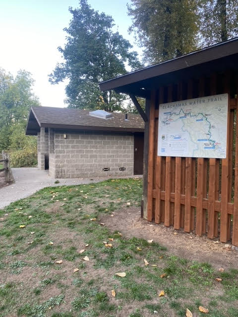
Kiosk located close to the restrooms and near the boat ramp.
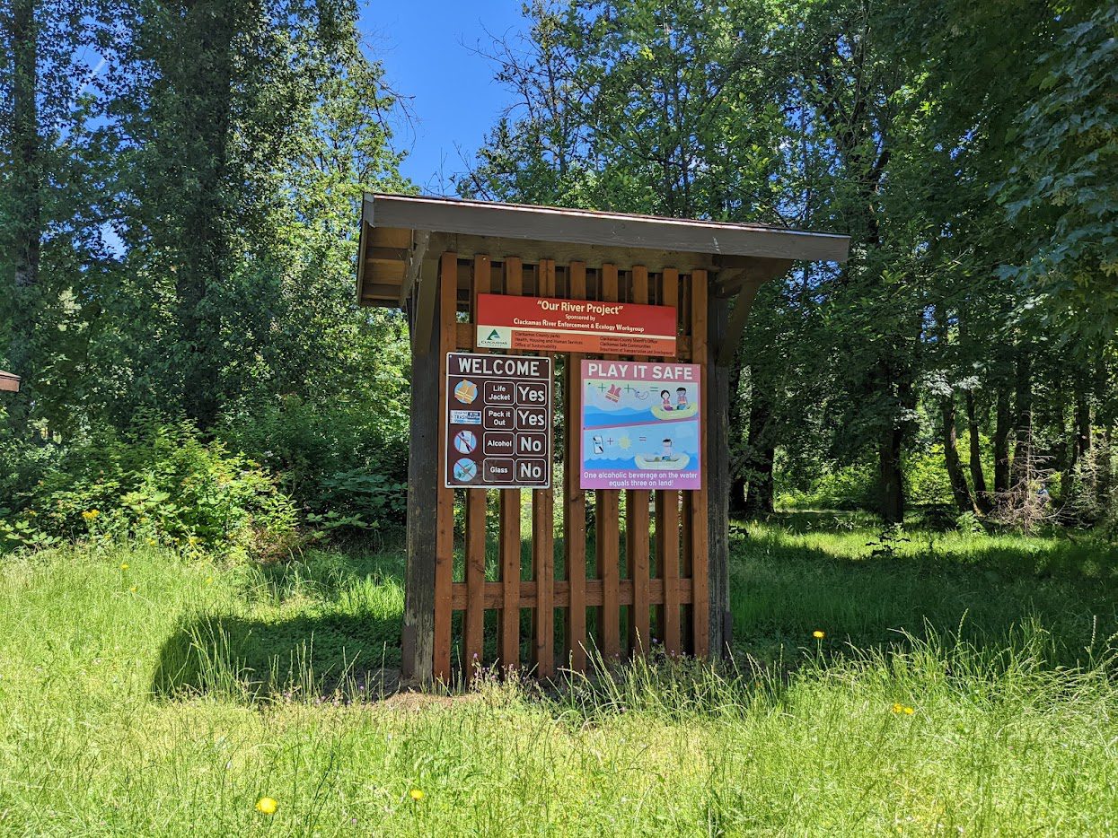
Water safety signs on the kiosk will be moved to locations closer to the river.

