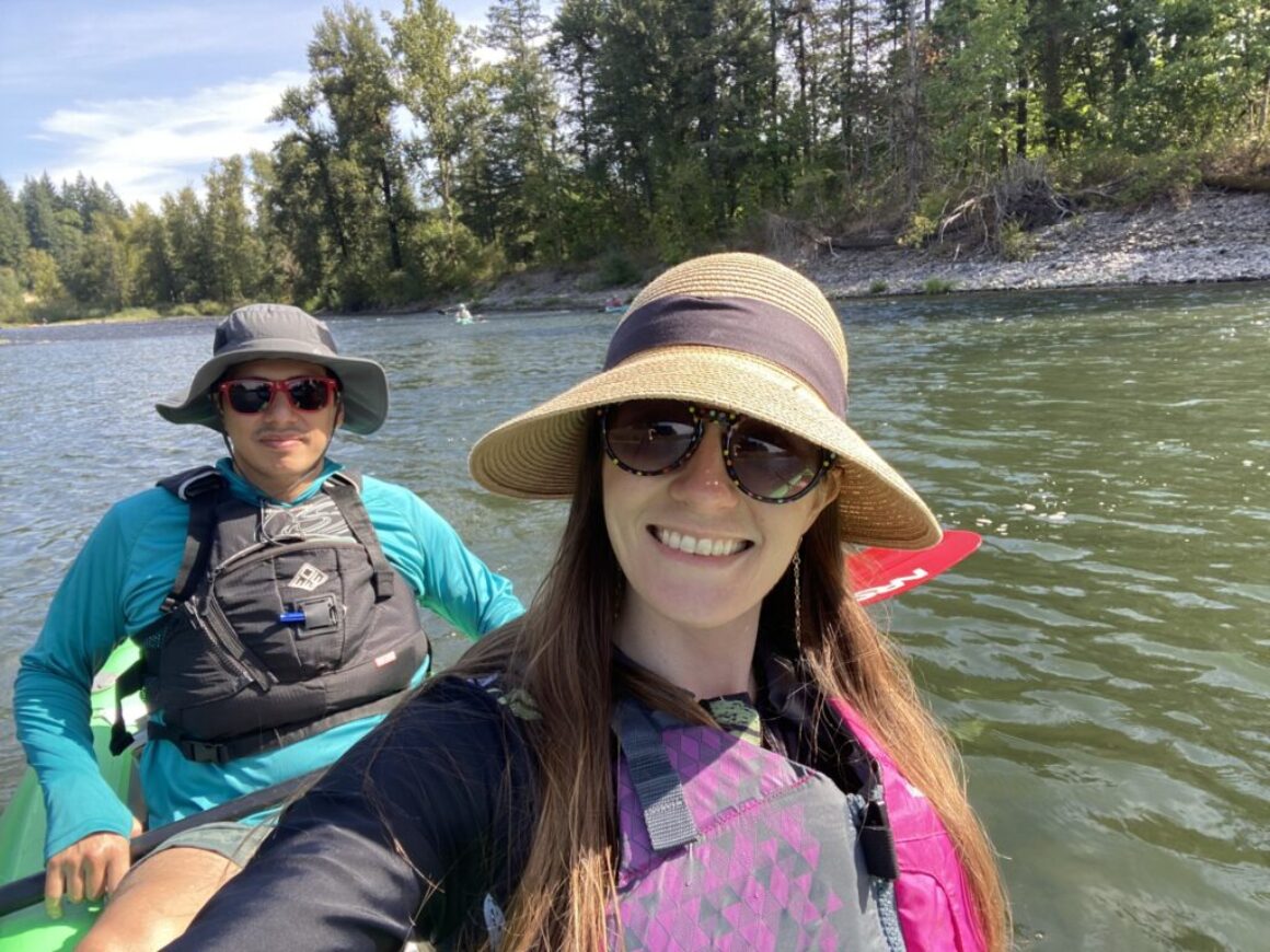
You’ve found the Clackamas Water Trail. Now what?
The Clackamas River is a spectacular 83-mile Pacific Northwest treasure. It provides clean drinking water for over 300,000 neighbors, hosts critical wildlife habitats, and offers some of the best recreational paddling in the region
However, a river is a living thing. Following major high-water events like the recent December floods, the Clackamas has physically shifted. Gravel bars have moved, new wood hazards have deposited, and channels look different than they did last season.
Here is your quick-start roadmap to using our platform effectively before you grab your paddle.
Step 1: Choose Your Experience Level
Match your gear to the water. We are here to make sure you don’t accidentally put an inflatable pool toy into a technical whitewater rapid. To help, we’ve divided the river into two core regions to keep you safe:
–>The Upper River:
This section covers the rugged, wild waters running through the Mt. Hood National Forest down to Estacada. This area features calm, complete flatwater reservoirs (Class 0) perfect for families, but also presents advanced, fast-moving whitewater canyons up to Class IV. Explore our detailed Upper Clackamas Water Trail Map to track rapids like Hole in the Wall and Carter Falls.
–>The Lower River:
A contiguous 22-mile stretch meandering through hills and farmlands. It features dozens of riffles and smaller, family-friendly rapids that never exceed Class II+. Check out the Lower Clackamas River Map to pinpoint popular access hubs like Barton Park and Carver Boat Ramp.
How to use the map:
Click onto the interactive viewer to toggle satellite layers, measure distances between landings, and see exactly where vehicle parking, public restrooms, and boat launches are waiting for you.
Step 2: Create Your Trip Itinerary
You don’t have to guess where to paddle. We’ve pre-packaged the river’s best stretches into tailored, step-by-step guides based on experience level and equipment:
–>For thrill-seekers (whitewater & technical boating)
If you crave rapids, explore our Upper River Itineraries. The stretch from Sandstone Bridge to Moore Creek serves up continuous Class II and III whitewater, building into massive Class IV hydraulics during intense seasonal flows.
–>For beginners & families (flatwater & reservoirs)
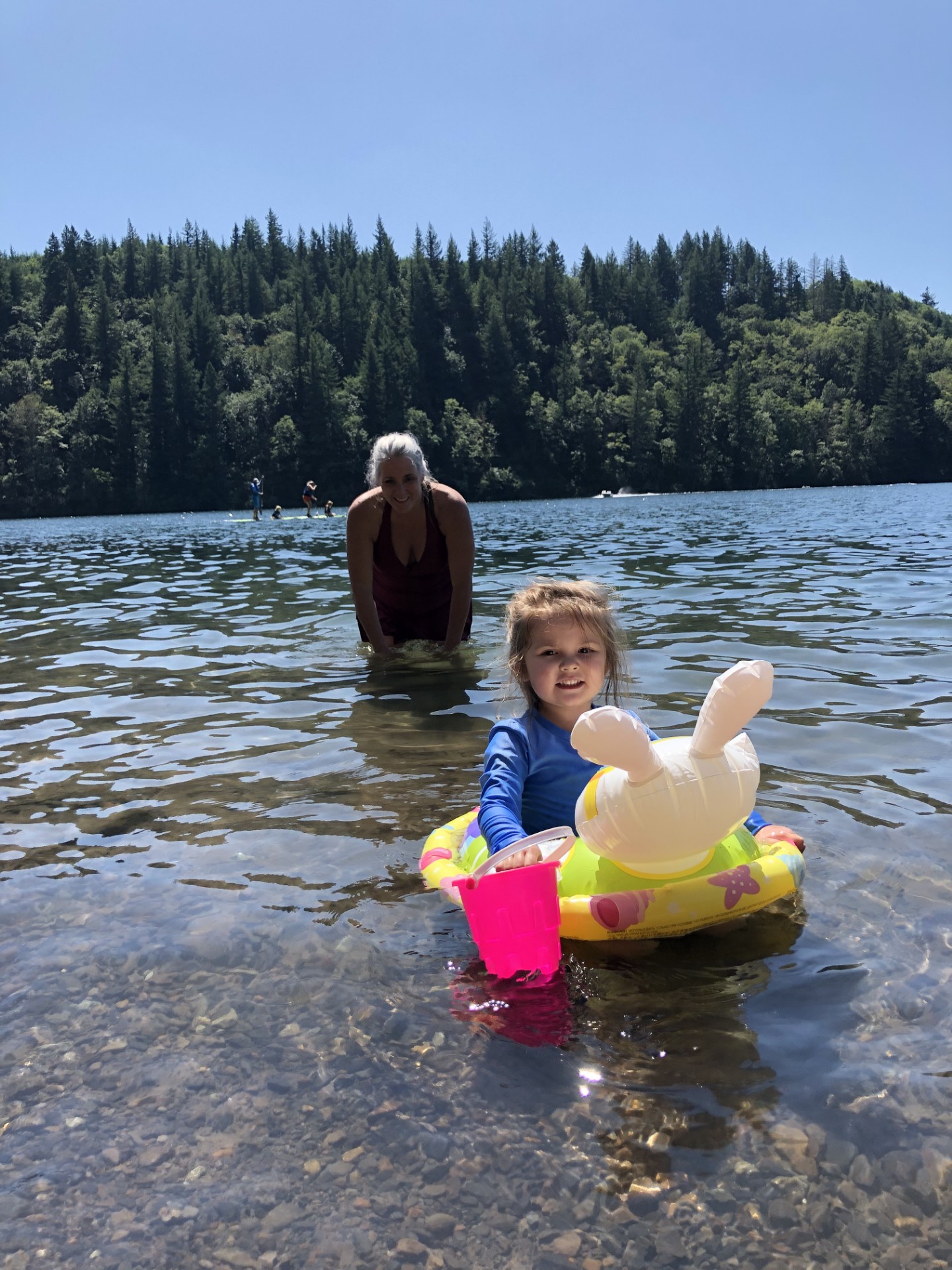
Not ready for rapids? No problem. The Upper River features beautiful, calm flatwater options (Class 0). Pack a lunch and paddle the glassy surfaces of Estacada Lake or the North Fork Reservoir. Down on the lower river, parks like Milo McIver State Park offer excellent, easy-going entry points for flatwater exploration.
–>For summer floaters (tubing & lazy days)
For the ultimate relaxing afternoon, look into the popular lower river routes. Be sure to check our guide on Running a Shuttle for a Clackamas Float so you can coordinate cars smoothly between your start and end points.
Step 3: Map Your Launch and Take-Out Logistics
Plan your transportation beforehand. You cannot simply pull over and park anywhere along the river corridor. Use our River Map dropdown menu to open our interactive tracking tools:
- Locate Official Parks: Use the map to find designated access hubs like Barton Park, Carver Boat Ramp, or Milo McIver State Park.
- Check Amenities: Click on individual map pins to see which public boat launches feature vehicle parking, standard restrooms, or nearby supply shops.
- Coordinate Your Shuttle: If you are floating downriver, you will need two cars. Read our specialized shuttle guide blog post under the resources tab to learn how to stage your vehicles seamlessly without getting a parking ticket.
**Please note: there are no shuttles on the Clackamas River unless you book in advance with a local outfitters.
Step 4: Know What to Expect on Your Route
–>The Clackamas is a living river, and conditions can change.
Different sections may include swift currents, rapids, deep pools, rocks, fallen trees, and other hazards.
Recent flooding caused a few changes on the river. The Clackamas experienced record high water in December of 2025, with some of the highest flows in the last 100 years. Strong currents created new islands and gravel bars while others have washed away. Beware of any potential obstacles while floating.
–>Check live water conditions
The Clackamas changes dramatically depending on the season, winter snowpack, and rain. Before you load up your gear, scroll through our homepage to view the real-time USGS Water Gauges.
You can view live streamflow (measured in cubic feet per second), gage height, and water temperature at three critical points:
Tip: Low summer flows mean a slow, rocky, technical paddle, while surging spring melt creates powerful currents suited only for experienced boaters. Always match the gauge data to your skill level!
–>Floating the Clackamas River Facebook Page
If you have specific questions you would like to Crowd-Source from locals, you can check out the Facebook page dedicated to just that here: Floating the Clackamas River
Step 5: Review Safety, Supplies, and River Etiquette
A great day on the water is a safe, responsible day on the water. Before you leave, take five to click through our essential resource guides:
- Pack the Essentials: Life jackets (PFDs) are required by law. Review our Float Safety & River Etiquette checklist for tips on appropriate footwear, hydration, and sun protection.
- Locate Restrooms & Supplies: Don’t get caught stranded. Read our Getting Started / FAQs page to find out which parks feature public restrooms (like Timber Park and Carver) and where to pick up snacks or gas in local hubs like Gladstone and Estacada.
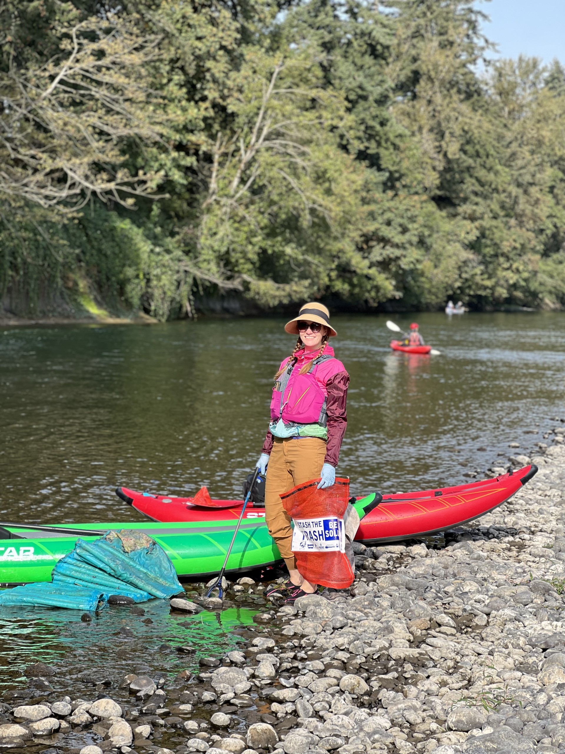
- Practice Low-Impact Recreation: We share this river with wild salmon, steelhead, and Pacific lamprey. Help protect our watershed by packing out all trash, respecting private property lines, and honoring the heritage of the indigenous Clackamas People who have cared for this land since time immemorial.
Your Next Step: Let’s Plan Your Day!
Ready to get your feet wet? Don’t leave it to chance.
Click straight through to our Clackamas Water Trail Interactive Map to locate your nearest boat launch, check the local depth, and safely plan your next Pacific Northwest water adventure!
About the Author:
Amy Barton is the Communications & Development Manager for the Clackamas River Basin Council (CRBC).
CRBC is a nonprofit watershed council that works to restore and protect the Clackamas River.
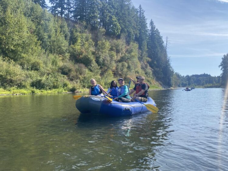
Photos used in this post were taken by Amy while recreating on the Clackamas River.