Clackamas Water Trail Upper & Lower Sections
Introducing the Clackamas Water Trail – Upper and Lower River sections
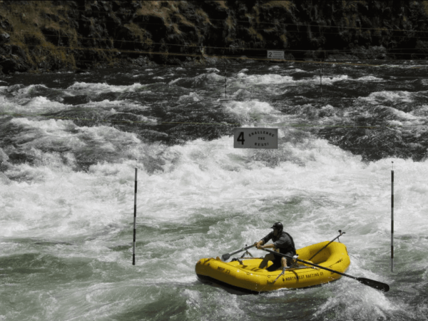
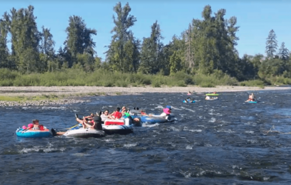
Whether you enjoy the thrill of whitewater rafting and kayaking or are looking for a mellow float, the Clackamas River is host to a variety of river recreation opportunities and provide something fun and exciting for all.
Originating in the high Cascade Mountains of Oregon, the 83 mile Clackamas River plunges through high mountain valleys and canyons before it meanders through farmland and hill country on to its confluence with the Willamette River. Because of its proximity to over 2.5 million residents in the Portland metro area, it is both a wonderful recreational resource and a critical drinking water source. The upper 2/3rds of the river (from its source at Ollalie Butte to Estacada Lake) lie within the Mt. Hood National Forest and are protected by the Wild & Scenic Rivers Act. The lower 3rd has scenic protections by the state of Oregon, but largely borders private farm & forest land.
The Clackamas Water Trail – a formal designation of river stretches that are popular and accessible to the public – encompasses two key stretches of the river demarcated as the ‘Upper’ and ‘Lower’ Clackamas River.
Both sections offer an array of recreational activities that include world-class whitewater rafting and kayaking, flatwater paddling, drift boating, tube floating, sport fishing, and riverside hiking, camping and cycling. Whatever the season, the Upper and Lower stretches of the Clackamas Water Trail provide something fun and exciting for all.
Public Access
The entire river up to the high-water line is public (always be mindful of private property, which is right beyond that high water line), and much of the adjacent land is public (state, regional, county and local). The interactive river map can help visitors determine which is which, and the high water line is generally easy to interpret in the summer (when the river is most visited) as the change in year-round vegetation versus gravel, sand, and grass/shrub species that predominate in the lower water riparian areas. Some of the parks in the lower watershed charge fees for car entry and parking: please pay accordingly and know every penny goes to local park maintenance.
To plan your perfect day on the river check out the itineraries for the Upper and Lower River or explore the interactive map to find locations of parks, boat ramps and more. Take a few minutes to review the information in this website and make sure you are totally prepared for a fantastic (and safe) journey down the Clackamas Water Trail.


To plan your perfect day on the river check out the itineraries for the Upper and Lower Clackamas River or explore the interactive map to find locations of parks, boat ramps and more.
